MIT RESEARCHERS, IN COLLABORATION WITH
LIBERTY MUTUAL INSURANCE, ANALYSE BILLIONS
OF DATA FROM SELF-TRACKING APPS TO UNVEIL
HOW WE MOVE IN URBAN AREAS.
Tens of millions of self-tracking apps are installed annually by people eager to monitor themselves—from how many calories they eat to how many hours they sleep to how many steps they take in the course of a day. While these devices and applications help people realize their fitness goals, researchers at the MIT Senseable City Lab, in collaboration with Liberty Mutual, have found another use for the Big Data they produce. As part of a new study called CityWays, they have analyzed anonymized data to better understand activity patterns in cities, including how pedestrians, runners, and cyclists move in the urban environment. Results of the project are currently under review in several scientific publications, and can be previewed at http://senseable.mit.edu/cityways.
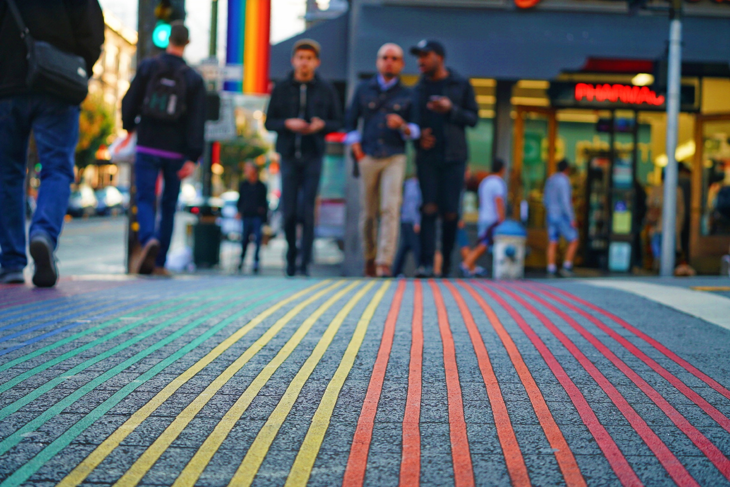
Image above: the Castro is a community in downtown San Francisco;
its centre is the Rainbow Crosswalk. Photo by Max Templeton on Unsplash.
Currently, fitness-tracking applications are present in 60% of smartphones and constitute a rapidly growing market, with sales of $800 million projected by 2020. They are also behind many ad hoc devices, such as fitness electronic gear contained in watches and bracelets, among others. While the individual benefits of such apps are well known, the aggregated data they produce has never been studied to better understand cities—at least until now.

at MIT and Director of the Institute’s Senseable City Lab:
“Until recently, movement data was difficult to obtain, and
required tedious and expensive surveys. Information from
self-tracking apps is a game changer..."
“Understanding walkability in cities has been a long standing area of research, with impact on urban health—among others,” explains Carlo Ratti, Professor of the Practice of Urban Technologies at MIT and Director of the Institute’s Senseable City Lab, where the research was carried out. “Until recently, movement data was difficult to obtain, and required tedious and expensive surveys. Information from self-tracking apps is a game changer and allows us to discover how a diverse group of people from different communities move around an urban space—and what are the key factors influencing it.”
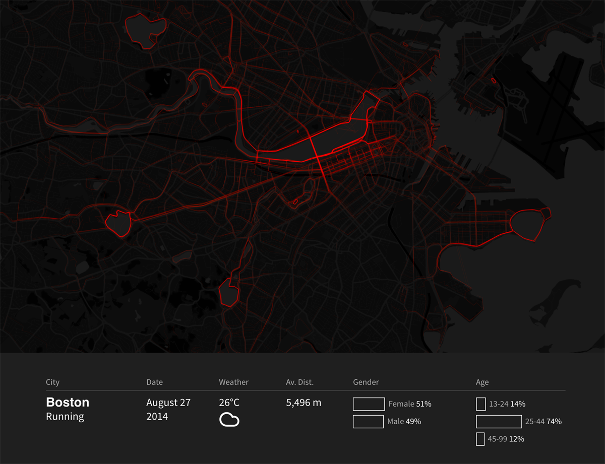
Researchers focused initially on two cities, Boston and San Francisco, investigating thousands of walking, running and cycling trips recorded with self-tracking apps over the course of more than one year. As a first step, they were able to quantify the effects of temperature, precipitation, and other environmental factors on outdoor activities. Not surprisingly, Bostonians are resistant to cold weather and keep moving when temperature falls below -15ºC—although males seem to be more cold-resistant.

located in the Greater Boston area of Massachusetts.
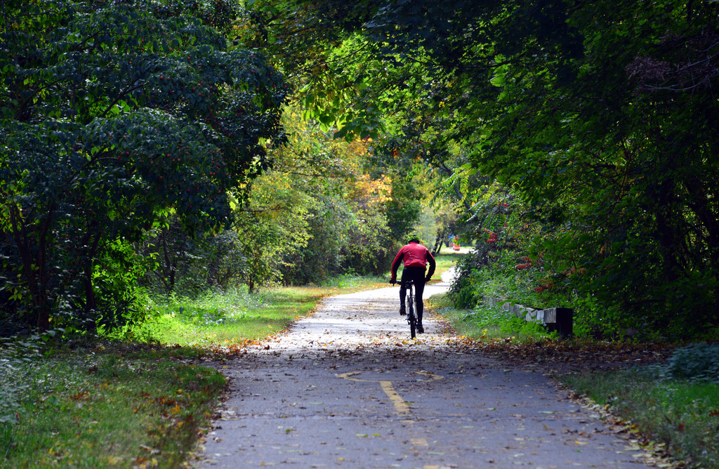
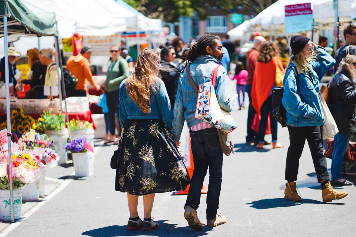
In Boston and San Francisco, people tend to travel within the central business districts, mostly walking between transport hubs, jobs, and commercial areas to complete short errands. Runners prefer open spaces—in Boston, for example, the Charles River banks are highly frequented, as are the Chestnut Hill reservoir and Jamaica Pond. In San Francisco, runners populate the Golden Gate Park and bay area. Finally, in these cities, bicycle trips are longer and span outside of the cities, crossing the Golden Gate Bridge in San Francisco and along the Minuteman trail in Boston.
Another interesting finding is that presence of restaurants and grocery stores seems to have a stronger effect on pedestrian activity than the presence of street elements that are explicitly designed for pedestrians, such as benches, trees, or sidewalks. Thus, the study suggests that the destination of your trip, especially if related to eating, is relatively more important than the amenities available along the road. This finding can have implications on street design and zoning policies, possibly leading to a re-definition of well-known static metrics of walkability, such as the walk score.

Using data collected from personal tracking applications helps us better understand how people move around cities—and can lead to more human-centered urban design, grounded in actual data. MIT Senseable City Lab is excited to be further collaborating with Solaria Labs, Liberty Mutual’s innovation center, on new studies and initiatives in relation to the future of smart cities.
Team at the MIT Senseable City included Carlo Ratti (director), Fábio Duarte, Ruxian Ma, Paolo Santi, Hyemi Song, Anthony Vanky. Team at Liberty Mutual included Theodore Courtney and Santosh Verma. 

