Copenhagen is regarded as one of the world’s most livable cities. Any magazine or travel guide will tell you as much. You may even agree after spending time in the city, or after reading the metrics and indicators that tally up the reasons for its livability.
Behind the talk and the media about the city’s livability though, what’s left are the spaces the city is made of, the people that use those spaces and the ease in which it all happens.
My life in—and understanding of—Copenhagen is often through the eyes of my students, 25 American University students who call Copenhagen their study abroad home. Every semester students come to the Danish Institute for Study Abroad (DIS) in Copenhagen, and through our class, Strategies for Urban Livability, they learn to decide if Copenhagen is truly livable and what makes it so. Through learning how to identify and analyze political intentions and design strategies and how to conduct data-driven analysis of urban environments the students develop a ‘personal livability encyclopedia’. This enables them to convert findings into a set of strategic tools for urban livability.
 Half way through the semester, the students have taken a moment to reflect on their experience in Copenhagen, what they have found is Copenhagen’s most livable space and what tools they would choose to indicate this. The conclusion is, Islands Brygge, (Iceland’s Quay).
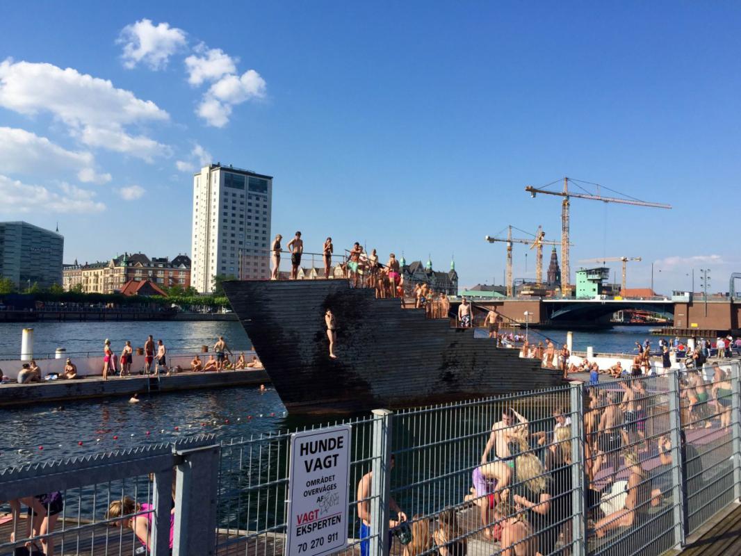
At a spot where land meets water, you can find dedicated Copenhageners taking the polar bear plunge in the depths of winter and the summer (let’s be honest, it’s still freezing…). Islands Brygge is Copenhagen’s most livable space.
Famously known as a must-see waterfront location, Islands Brygge is a versatile space, previously serving military, industrial and residential purposes until its redevelopment in 2003 to become a multi-functional recreational area.
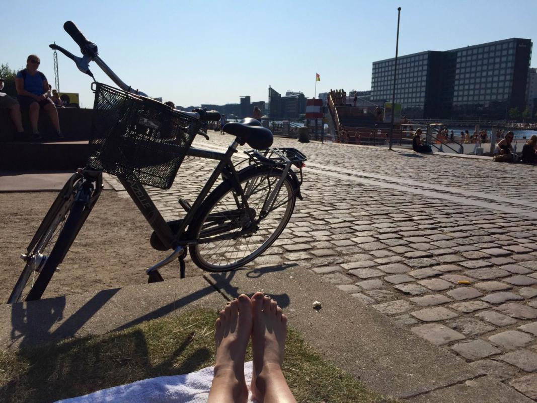
We define a livable space as one that gives people the ability to claim it as their own, to feel some type ownership there. Locals and tourists alike flock to Copenhagen’s harbor to take advantage of the harbor bath, diving towers and green lawns. Islands Brygge has ample space for walking and biking and is easily accessible from the city center. As the municipality worked to improve the area, they addressed the poor water quality of the harbor, cleaning it up to allow people to use it again. With all of the changes made, the city maintained some of the old industrial landmarks of the area such as the Seed Silo (converted into Gemini Residence by Dutch architects MVRDV), the Wennberg Silo, and the Zeppelin Building, preserving its history while fashioning a more appealing surrounding environment.
How can we prove that Islands Brygge is actually livable? To test our definition of the term, we can conduct various observational studies in the area. First, we can trace how to arrive at and maneuver through the space; Islands Brygge facilitates both biker and pedestrian traffic through easily navigable paths and a degree of fluidity in its transition from the street to the lawns and water. We can count the number of visitors and distinguish demographic data as well as identify the different activities that visitors are engaged in. Families may be having picnics, groups of friends are hanging out, and children run around playing. There’s no set of expectations for the space; it’s up to the people to decide how to use it. All you have to do is spend some time there, take a stroll, and see for yourself that Islands Brygge fits all the criteria for a livable space. ![]()

